
ADJUMANI, UGANDA: In 2020, Adjumani district highest land cover was annual cropland (60.9%) followed by Bushland (20.1%) and woodland (6.6)
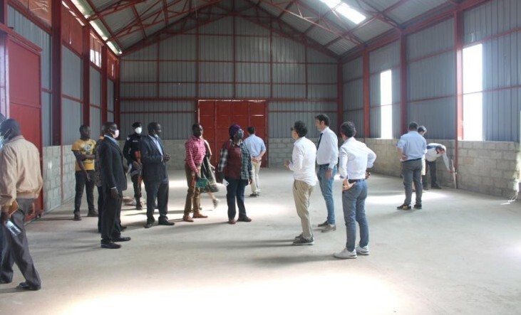
In the presentation by the district planner Mr. Moini Fred who talked about the investment opportunities in Adjumani district for the Italian investors gave a leeway for the entrepreneurs to invest in the district through their diverse professionals and investors for the betterment of the lives of the people in Ma’di sub region.
More than 80% of the Adjumani population is engaged in Agriculture as the main economic activity, mainly in peasant farming. The majority of the farmers still use rudimentary methods with minimum modern technology hence affecting productivity. The remaining 20% are mainly in salaried employment and other non-agricultural activities such as commodity trade, boda boda transport, market vending and petty trading and services.
Adjumani district there are a number of reasons why the Italian investors should invest in the region among them includes, the abundant natural resources, strategic locations and Enabling environment
“I see the skills for development in Ma’di sub region” says Mr. Masemo
Mr. Masemo is an Italian investor who deals in sales of agricultural machines says that he is ready to offer skills in collaboration in order to succeed. At the side of transport and logistics they said that in their partnership with Ma’si people, they will offer the assistance in transportation of goods from Africa to Europe much easier.
Adjumani district is found in the North – Western region of Uganda and is bordered by Moyo District in the North, Arua and Yumbe in the West, and Amuru District in the South and East. The average altitude of 1,200 metres above sea level and a total area of about 3,128Km2 of which the land area is 2,954.6 sq.km. The area occupied by forest is estimated at 37.44Sq.Kms. Of the 1,455 Sq.Kms of arable land, only 320.8 Sq. Kms is under cultivation.
The sub-region is largely developed by the public sector and a vibrant local private sector including over fifty of both international and local development partners. Five-year District Development Plans for the three Local Governments in the sub-region to guide development activities. The sub-region has a well-connected road network including two airstrips connecting all service centres and/or markets within and outside.
If you would like your article/opinion to be published on Uganda’s most authoritative news platform, send your submission on: [email protected]. You can also follow DailyExpress on WhatsApp and on Twitter (X) for realtime updates.